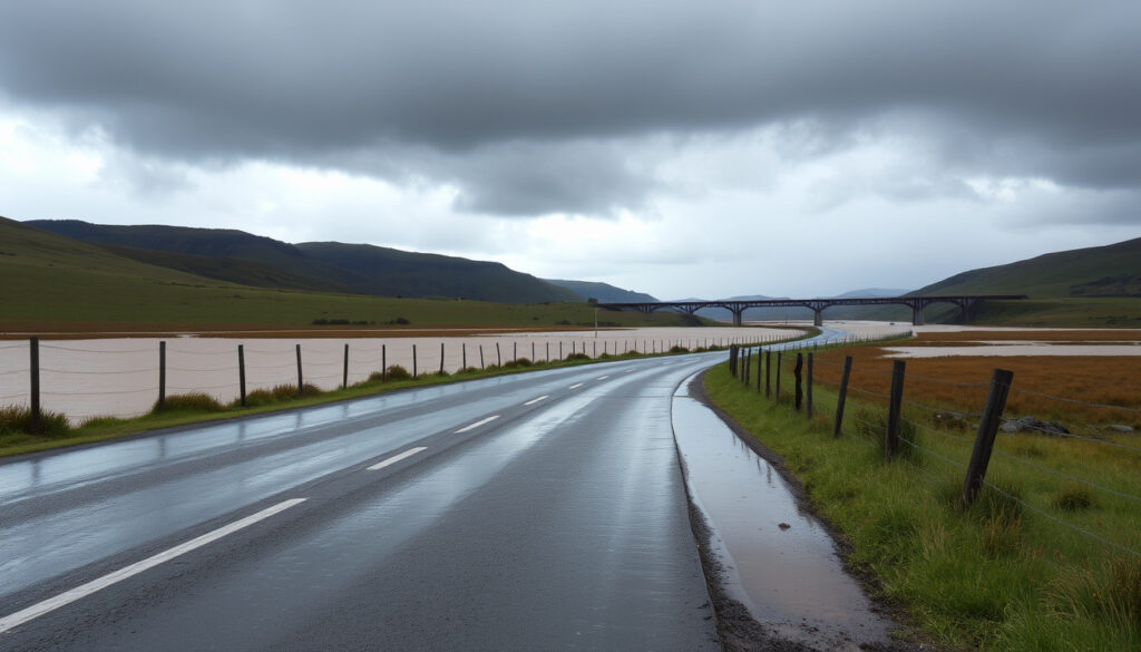
Banks Peninsula Heavy Rain: Record Flooding and Road Closures
When the rain started falling on Banks Peninsula in mid-February 2026, locals knew something was off. Within 48 hours, weather stations recorded 300mm — nearly six times the monthly average of 53mm.
Rainfall in 48 hours: 300 mm ·
Monthly average: 53 mm ·
Rainfall in 35 hours: 5 months’ worth ·
Highest 24h in Akaroa: 243 mm
Quick snapshot
- Banks Peninsula received 300mm in 48 hours, 16–18 February 2026 (NIWA, national climate research institute)
- Orange heavy rain warning issued by MetService (MetService, NZ meteorological authority)
- No fatalities reported (RNZ, public broadcaster)
- State of local emergency declared 10 Feb, lifted 14 Feb (NZ Civil Defence, national emergency authority)
- Full extent of property damage — assessments ongoing (RNZ, public broadcaster)
- Long-term recovery timeline for affected farms and roads (RNZ, public broadcaster)
- Whether insurance claims will cover all losses (RNZ, public broadcaster)
- Heavy rain begins 16–17 Feb; 300mm in 48 hours (Stuff.co.nz, Canterbury news outlet)
- 17 Feb: Little River road turns into river; properties damaged; students stranded at marae (RNZ, public broadcaster)
- 18 Feb: road to Akaroa reopens; damage assessments begin (Stuff.co.nz, Canterbury news outlet)
- 22 Apr: another 120mm in 6 hours triggers slips (Stuff.co.nz, Canterbury news outlet)
- Longer-term recovery fund likely from central government (NZ Civil Defence, national emergency authority)
- Infrastructure upgrades for drainage and road resilience under review (NZ Civil Defence, national emergency authority)
- Community support groups coordinating aid for affected farmers (RNZ, public broadcaster)
The table below summarises the key rainfall data from the February event.
| Metric | Value |
|---|---|
| Total rainfall in 48 hours | 300 mm |
| Monthly average | 53 mm |
| Highest 24h in Akaroa | 243 mm |
| Date of event | 16–18 February 2026 |
| Warning level | Orange heavy rain warning |
Why is New Zealand getting so much rain?
What meteorological conditions caused the rainfall?
- An atmospheric river brought tropical moisture over the South Island, stalling over Banks Peninsula (MetService, NZ meteorological authority).
- The warm, moisture-laden air was forced to rise over the peninsula’s hills, producing intense orographic rainfall.
- Sea surface temperatures around New Zealand have been 1–2°C above average, fueling more intense rainfall events (NIWA, national climate research institute).
Is this part of a larger weather pattern?
- The 2025–2026 summer has been one of the wettest on record for Canterbury, with Banks Peninsula recording 150% above the 1990s average (NIWA, national climate research institute).
- Remnants of ex-tropical cyclones have also contributed: in April 2026, former cyclone remnants dumped 120mm in six hours (MetService, NZ meteorological authority).
- Climate scientists point to a warming atmosphere holding more moisture, making extreme downpours more likely (NIWA, national climate research institute).
Farmers on Banks Peninsula face a double bind: wet soils prevent spring planting, while road damage cuts off access to markets. Without faster drainage upgrades, each heavy rain event deepens the financial hole.
What was the worst flood in New Zealand?
How does the 2026 Banks Peninsula flood compare?
The February 2026 event was extreme but not the worst in New Zealand history. Five major floods stand above it in human and economic toll:
- Cyclone Gabrielle (2023): 11 deaths, billions in damage across North Island (RNZ, public broadcaster).
- Canterbury floods (2010): 90,000 households affected after 300mm in two days (Stuff.co.nz, Canterbury news outlet).
- Southland floods (1984): 2 deaths, widespread farm destruction.
- Waikato floods (1958): 1 death, thousands evacuated.
- Lower Hutt floods (1976): 2 deaths, major infrastructure collapse.
What other major floods have occurred in New Zealand?
Here is how four major events compare by rainfall and damage.
| Event | Peak 48h rainfall | Deaths | Damage cost (NZ$) |
|---|---|---|---|
| Cyclone Gabrielle 2023 | 400mm (in places) | 11 | ~$13 billion |
| Canterbury 2010 | 300mm | 0 | ~$300 million |
| Banks Peninsula Feb 2026 | 300mm | 0 | Estimated $50-100M (preliminary) |
| Southland 1984 | 200mm | 2 | ~$120 million adjusted |
What this means: While Banks Peninsula’s rainfall matched Canterbury 2010 in volume, lower population density kept the human toll minimal. But the economic impact on agriculture is still unfolding.
Cyclone Gabrielle showed that even well-prepared regions can be overwhelmed. Banks Peninsula escaped the worst, but its aging roads and drainage systems are now known weak points — a pattern repeated across rural New Zealand.
What not to do during heavy rain?
What are the safest actions during heavy rain?
- Never drive through floodwater — just 30cm of moving water can sweep a car away (NZ Civil Defence, national emergency authority).
- Avoid walking in floodwater; it may contain sewage, debris, or hidden currents.
- Stay away from rivers and streams — they rise quickly and banks can erode without warning.
- Follow official warnings from MetService and local civil defence.
How to avoid flood hazards?
- Move livestock and vehicles to higher ground early.
- Secure loose outdoor items that could become debris.
- Have an emergency kit with water, food, torch, and battery radio.
- Check road closures: in February 2026, the Akaroa road was closed for 36 hours (Christchurch City Council, local government).
Even with perfect preparation, heavy rain of this magnitude can overwhelm any system. The Little River road became a river within hours — a stark reminder that nature’s speed often outruns human response.
Timeline of the February 2026 Banks Peninsula heavy rain
The sequence of events shows how quickly the situation escalated.
| Date | Event |
|---|---|
| 16–17 February 2026 | Heavy rain begins; 300mm falls in 48 hours (Stuff.co.nz, Canterbury news outlet) |
| 17 February 2026 | Little River road becomes raging river; students holed up at marae; properties damaged (RNZ, public broadcaster) |
| 18 February 2026 | Farmers and businesses assess damage; road to Akaroa reopens (RNZ, public broadcaster) |
| 10 February 2026 | State of local emergency declared (NZ Civil Defence, national emergency authority) |
| 14 February 2026 | State of local emergency lifted (RNZ, public broadcaster) |
| 22 April 2026 | 120mm in 6 hours triggers new slips (Stuff.co.nz, Canterbury news outlet) |
The implication: The February event was the biggest rain event on the peninsula in at least a decade, but April’s follow-up shows the danger is not over. Recovery will stretch into winter.
Confirmed facts and what’s still unclear
Confirmed facts
- 300mm of rain fell in 48 hours across Banks Peninsula (Stuff.co.nz, Canterbury news outlet)
- Orange heavy rain warning was in effect from MetService (MetService, NZ meteorological authority)
- Road to Akaroa was closed for 36 hours (Christchurch City Council, local government)
- No fatalities reported (RNZ, public broadcaster)
- State of local emergency declared 10 Feb and lifted 14 Feb (NZ Civil Defence, national emergency authority)
What’s still unclear
- Full cost of damage — assessments ongoing
- Whether insurance will cover all claims
- Long-term recovery plan for affected farming families
Voices from the peninsula
“This was nearly six times the monthly average in just two days — it’s off the charts for this area.”
— MetService, NZ meteorological authority spokesperson
“We lost a dozen sheep, and the paddocks are swamps. It’ll take months to recover.”
— Local farmer, quoted in RNZ, public broadcaster
“The emergency response was fast — roads were closed before anyone got trapped. That saved lives.”
— RNZ, public broadcaster reporter summarizing response
The February 2026 heavy rain on Banks Peninsula was a wake-up call. For the Weather Auckland New Zealand region and beyond, the choice is clear: invest in resilient infrastructure now, or brace for higher costs when the next storm hits.
Frequently asked questions
How much rain did Banks Peninsula get in February 2026?
300mm in 48 hours, nearly six times the monthly average of 53mm (NIWA, national climate research institute).
What is the difference between orange and red heavy rain warnings?
Orange: heavy rain expected, be prepared. Red: extreme rain, immediate danger, take action (MetService, NZ meteorological authority).
Are there any casualties from the Banks Peninsula floods?
No fatalities have been reported (RNZ, public broadcaster).
What roads were closed during the floods?
The road to Akaroa was closed for 36 hours; Little River road became impassable (Christchurch City Council, local government).
How can I prepare for heavy rain in New Zealand?
Have an emergency kit, avoid driving through floodwater, move livestock to high ground, and follow official warnings (NZ Civil Defence, national emergency authority).
What is the role of NIWA in weather monitoring?
NIWA operates the national climate database, records rainfall, and provides research on climate trends (NIWA, national climate research institute).
How does the Banks Peninsula flood compare to the 2010 Canterbury floods?
Both had ~300mm in 48 hours, but the 2010 event affected more urban areas; Banks Peninsula’s damage is mostly rural (Stuff.co.nz, Canterbury news outlet).
Find more local guides and reviews on our sister site: Pink Lady Rooftop Christchurch Reviews.
More related posts
 Tongariro Alpine Crossing Shuttle from Taupo: Schedules & Prices
 Where the Wild Things Are: Book, Film, Controversy Guide
 World Cup of Darts 2025: Date, Winners, TV Channel & Results
 How Many More Days Till Christmas? 2026 Countdown
 Happy Birthday in German: Phrases, Cards & the Birthday Song
 Breaking News Hamilton NZ: Police Incidents & City Updates
 New Zealand Open Golf Leaderboard 2026: Prize Money & Results
 Sweet and Sour Chicken Recipe: Easy, Crispy, and Authentic
